A Global Perspective on Riverine Suspended Sediment Trends and Drivers
PhD Scholar | 2023-2025
As part of my PhD research, I am contributing to the development of the Global RiverSed database, the first comprehensive global riverine suspended sediment concentration (SSC) database, using satellite remote sensing and machine learning. Global RiverSed will provide high-resolution spatially continuous SSC data for rivers wider than 60 meters at reach scales represented by Surface Water Ocean Topography River Database (SWORD) centerlines. This project aims to assess the dominant human and natural factors influencing SSC trends over space and time, advancing our understanding of sediment dynamics on a global scale.
Monitoring and Evaluating Suspended Sediment in Himalaya (MESSHI)
Project Lead | 2023-2024
MESSHI, part of my PhD research in collaboration with S4W-Nepal, focuses on understanding suspended sediment dynamics in Himalayan rivers. The project develops a multi-faceted data collection approach that integrates low-cost optical backscatter sensors, smartphone technology, and citizen science to address critical sediment data gaps. Additionally, we are developing and validating a novel method to monitor SSC using smartphone images, offering a cost-effective alternative to conventional in-situ sampling. This research aims to improve suspended sediment monitoring in this climate-sensitive region.
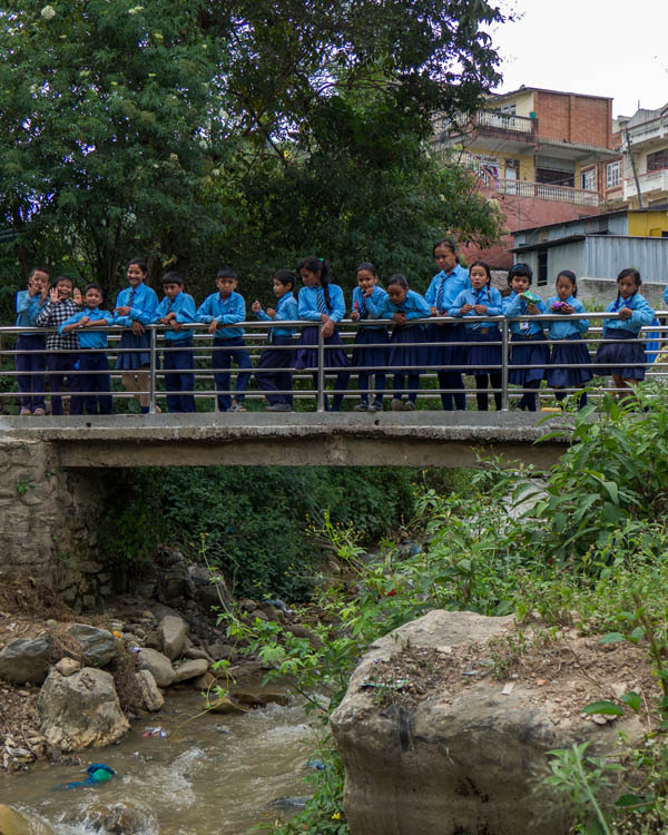
Citizen Science based hydro-meteorological monitoring in the Kathmandu, Nepal
Project Lead | 2017-2021, Advisor | 2022-Present
The project addresses the growing challenges of water resource management in the rapidly urbanizing Kathmandu Valley, Nepal, where extreme population growth has led to extensive stress and water resources degradation and associated ecosystems. Engaging young researchers and citizen scientists, it leverages innovative approaches, including low-cost sensors and mobile platforms, to monitor rainfall, groundwater, and stream conditions. By filling critical data gaps, the project seeks to enhance understanding and foster sustainable water management in the region.
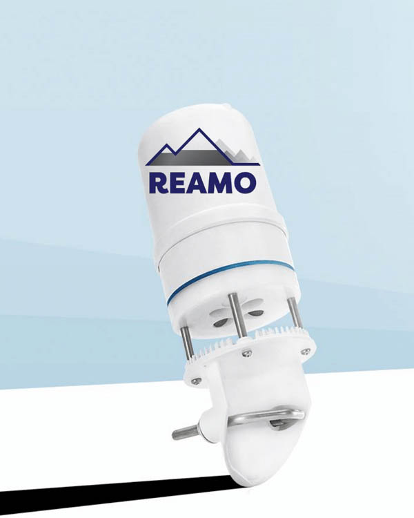
REAMO aspires to make meteorological data freely available and develop applications throughout (High Mountain) Asia by promoting and developing extensive networks of weather stations from the plains to the mountains. It supports climate change research, agriculture, hydropower, and disaster early warning systems.
VICTORY
Citizen Science Expert | 2024-2025
Project VICTORY (Visualizing The Power Of Citizen ScienceThrough Observations And Repository For Anticipatory Action), a collaboration between S4W-Nepal and IHRR funded by Asian Disaster Preparedness Center (ADPC), empowers communities in Nepal’s Dolakha and Bardiya regions to contribute to flood and landslide Early Warning Systems. Using low-cost sensors and a citizen science mobile app, it transforms individuals into scientific contributors for disaster preparedness.
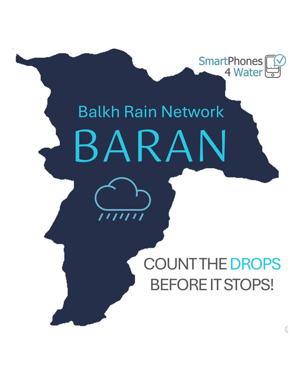
Balkh Rain Network (BāRāN)
Advisor | 2024-2025
The Balkh Rain Network (BāRāN), initiated by Smartphones for Water (S4W), empowers Afghan communities to monitor rainfall through citizen science, addressing gaps in hydrometeorological data due to decades of conflict. By equipping locals with affordable rain gauges, BaRaN enhances disaster preparedness and supports sustainable water resource management.
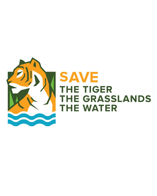
This project focuses on conserving tiger habitats in the Terai Arc Landscape and Duars regions through ecohydrological research and sustainable management of grasslands critical for tiger prey species. Funded by NWO and partners, it combines science, collaboration, and citizen engagement to address climate and human impact challenges.
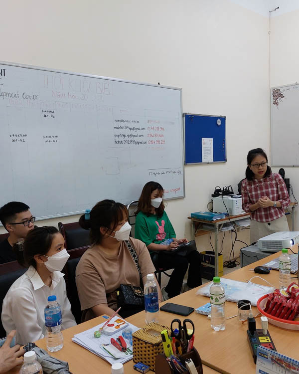
Community based flood monitoring in Vietnam
Advisor | 2021-2022
This project conducts a flood risk assessment in Vietnam’s Bui River Basin using remote sensing, modeling, and citizen science to estimate flood damage and minimize impacts. It integrates community-based data with hydrological models to predict risks and develop stage-damage functions for agriculture and income loss.
Schools and Satellites (SaS) integrates citizen science, satellite data, and machine learning to develop RainRunner, a hybrid satellite rainfall product for West Africa, leveraging diverse datasets to address data gaps. The product aims to support agriculture, crop insurance, and climate education, enhancing local and global food security.